News
Presentation of the 1st Research Programme of the Sylvia Ioannou Foundation
Hellenic Centre, London, 20 November 2017
Hellenic Centre, London, 20 November 2017
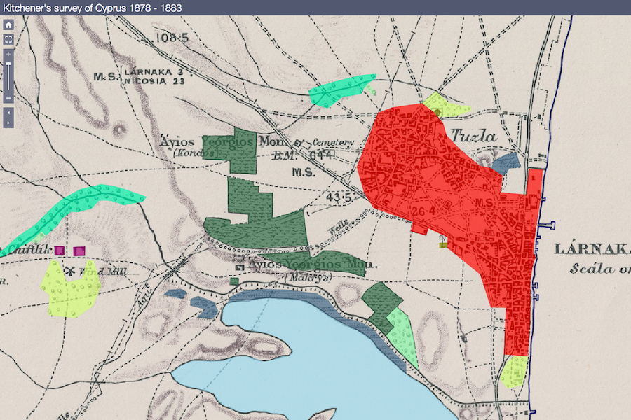
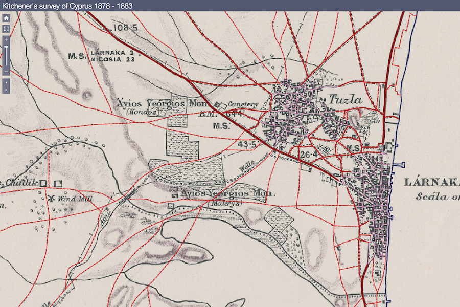
Cyprus, 1878: The 28-year-old Field Marshal Horatio Herbert Κitchener undertakes the mapping of Cyprus, mainly for administrative and tax-collection purposes, based on the method of triangulation.
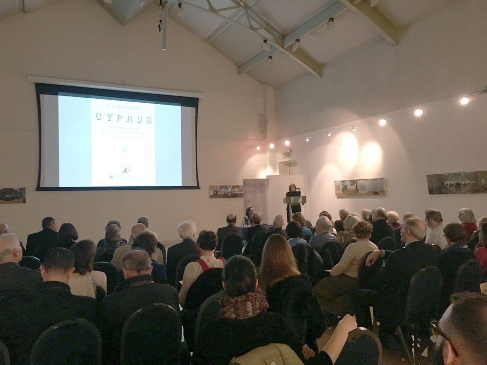
London, 2017: The ‘deciphering’ of the map of Cyprus through modern methods impressed the audience which had filled the Hellenic Centre’s Great Hall to capacity on the evening of November 20th for the presentation of the 1st Research Programme of the Sylvia Ioannou Foundation which was developed in collaboration with Harokopio University of Athens. Lord Kitchener’s historic map of Cyprus (published in 1885), the presentation’s main exhibit, belongs to the Foundation’s collection, constitutes the first scientific mapping of the island, and remained a cartographic model until the mid-20th century.
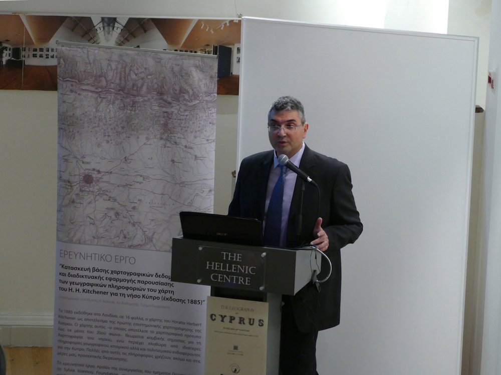
The speaker and scientific director of the programme, Christos Halkias, Professor at Harokopio University’s Department of Geography, presented the deciphering of the map as well as the more than ten different layers and geographical entities that emerged from the reading and analysis of the geographical, environmental, economic, historical, archaeological, and other data contained therein. Thanks to the interactive web application developed by the Harokopio University team, this wealth of information can now be accessed by anyone around the world (free access via the Sylvia Ioannou Foundation website here). At an academic level and from a Digital Humanities standpoint, the programme also attracted experts from King’s College London, who expressed a keen interest in collaborating with the Sylvia Ioannou Foundation and Harokopio University.
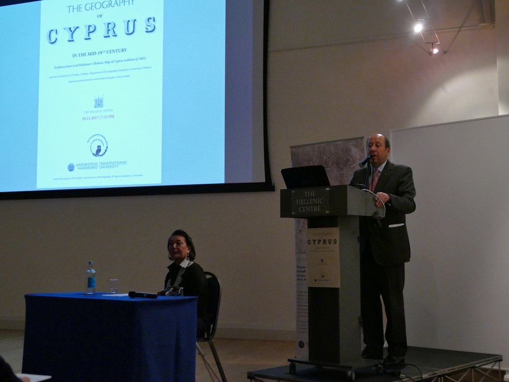
The event was held under the auspices of the High Commissioner of the Republic of Cyprus to the United Kingdom, H.E. Mr. Euripides Evriviades. In his address, Mr. Evriviades stressed the contribution made by the Foundation’s 1st Research Programme to preserving the place names of Cyprus and other aspects of the island’s history through primary sources. The audience was also addressed by Mrs. Agatha Kalisperas, Director of the Hellenic Centre, and Mrs. Artemis Scutari, Director of the Sylvia Ioannou Foundation.