Free cookie consent management tool by TermsFeed

Publications

Cartography

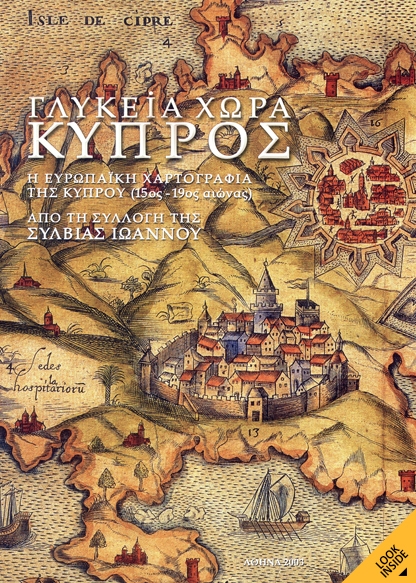
SWEET LAND OF CYPRUS THE EUROPEAN CARTOGRAPHY OF CYPRUS (15th – 19th century)

Compiler-Editor: Artemis Scutari
Introduction: George Tolias
Technical Advisor: Leonora Navari
Language: Greek and English
Athens, 2003

A bilingual exhibition catalogue (Athens 2003), in English and Greek, featuring rare books as well as unique manuscripts and maps about Cyprus. It covers the period from the late 15th to the late 19th century. The overall material has been structured into five sections, so as to display the development of cartography of the island alongside the unfolding of its history.

Paperback, 32 x 24.5 cm, 237 pages
ISBN: 960-87792-1-9
Published by AdVenture SA